08/07/2019
Mount Whitney: Previous Blog
Area: California, USA- Inyo National Forest and John Muir Wilderness
Trailhead: Whitney Portal (7500 ft)
Significance: Tallest mountain in the contiguous (lower 48) United States
Distance: 22 miles (RT)
Elevation Gain: 6130 ft
Highest Point: 14,505 ft
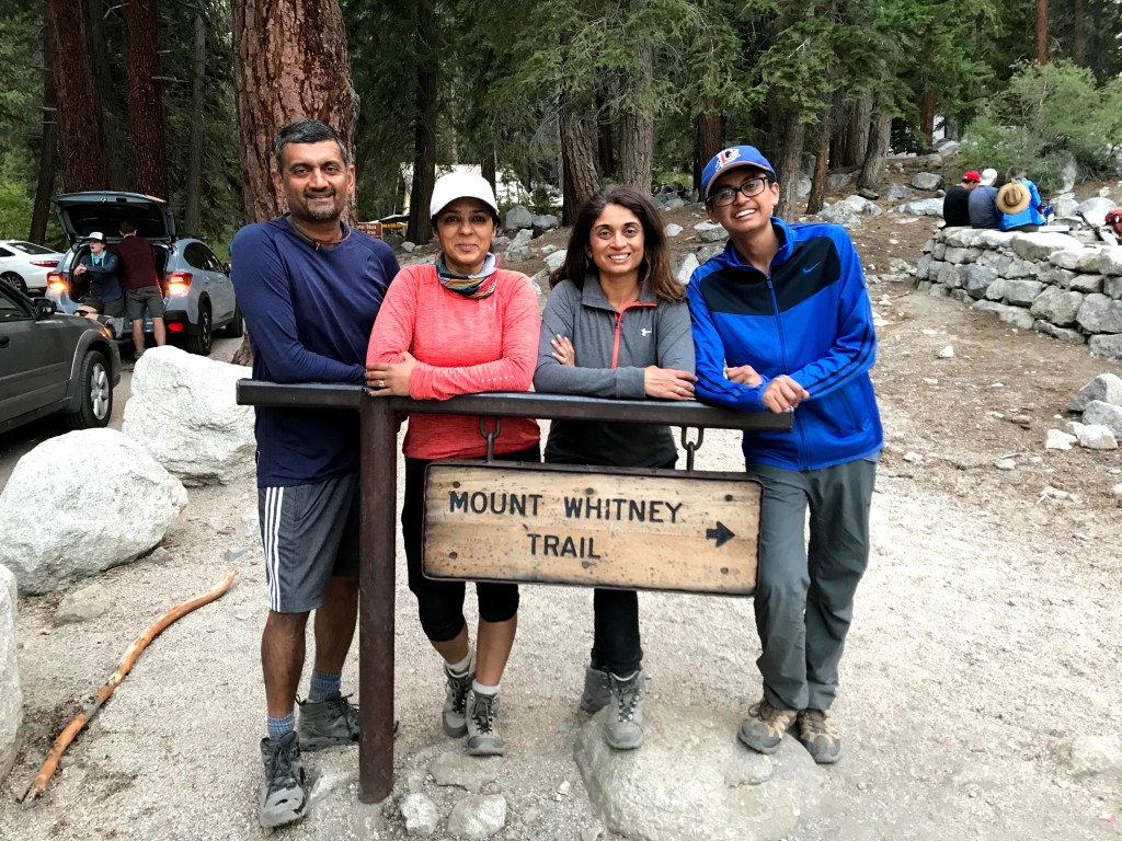
Mount Whitney Round 2:
I couldn’t decline when a friend offered me 2 overnight permits for the Whitney Zone. There was nothing that could go wrong this time around, now we know the backpacking rules in the area, and it was last weekend of August, a perfect weekend when it comes to weather. Anuj and I decided to join Manasi and Yogi and four of us headed up to Lone Pine on Friday morning.
Manasi had called the ranger station and requested for our permits to be left in a night box, so we could pick them up in the evening when we got there.
We decided in the car that we should have an early start and summit the mountain (11 miles) and come back to the trail camp (16 miles) to rest up and descend the remaining portion (22 miles) the next day. We all were excited about this idea.
Of course, we hit the long weekend traffic and got delayed reaching to Lone Pine, we drove up to the night box and found out that our permits were not in the box. We went through all the envelops at least seven times, to see if we were missing anything, but nope, our envelop wasn’t there.
With a total disappointment, we were forced to change our plans, because now we could only get our permits in the morning when the visitor center opened the next day, which means that we couldn’t start hiking before 10 am, and that would be too late for a full climb.
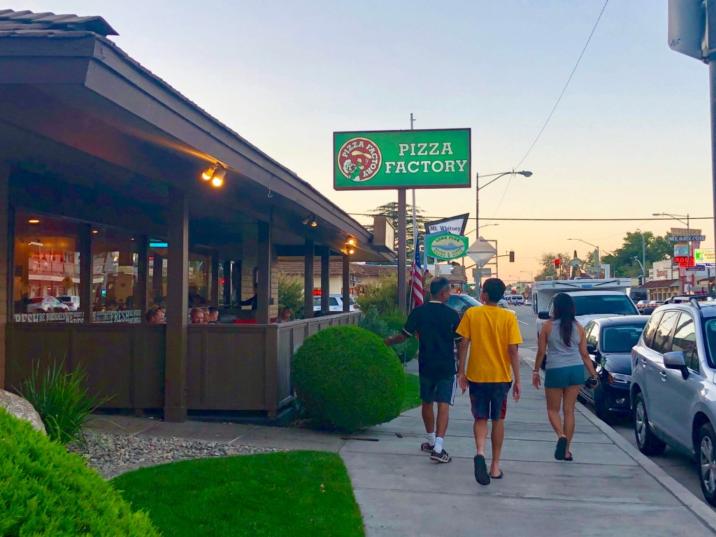
Well, nothing too bad, we checked in to our hotel room and headed to Pizza Factory for dinner, we also went for a quick grocery run and picked up some fresh granny smith for the breakfast.
Day 1: We picked up our permits the next day, and headed to the Whitney Portal trailhead. The parking lot was full, we parked our car on the side of the street, and packed up and left.
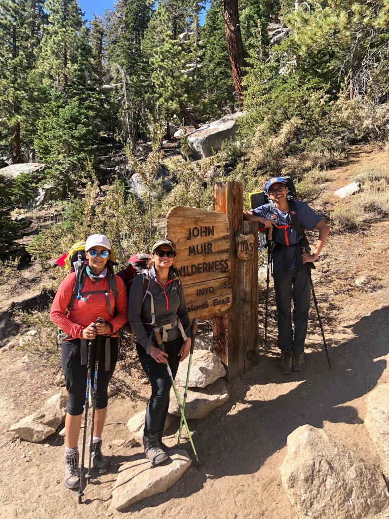
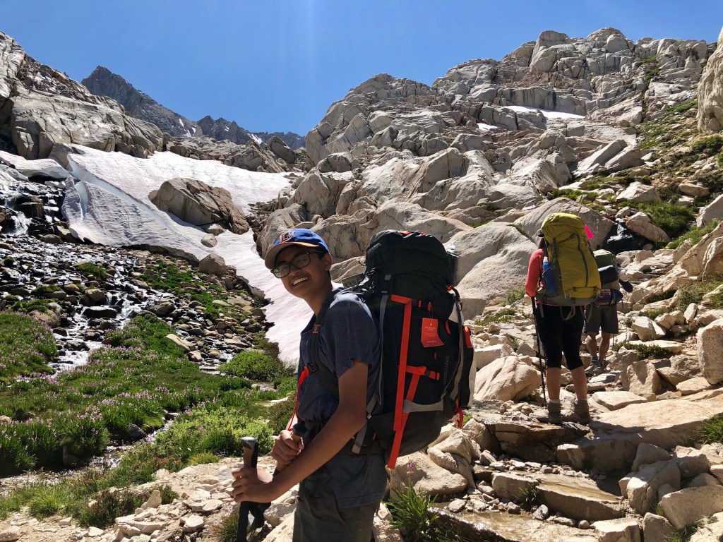
We started hiking at around 9.45 am. We needed to hike a steep 6-mile trail gaining 4500 ft elevation to reach to the Trail Camp at 12000 ft.
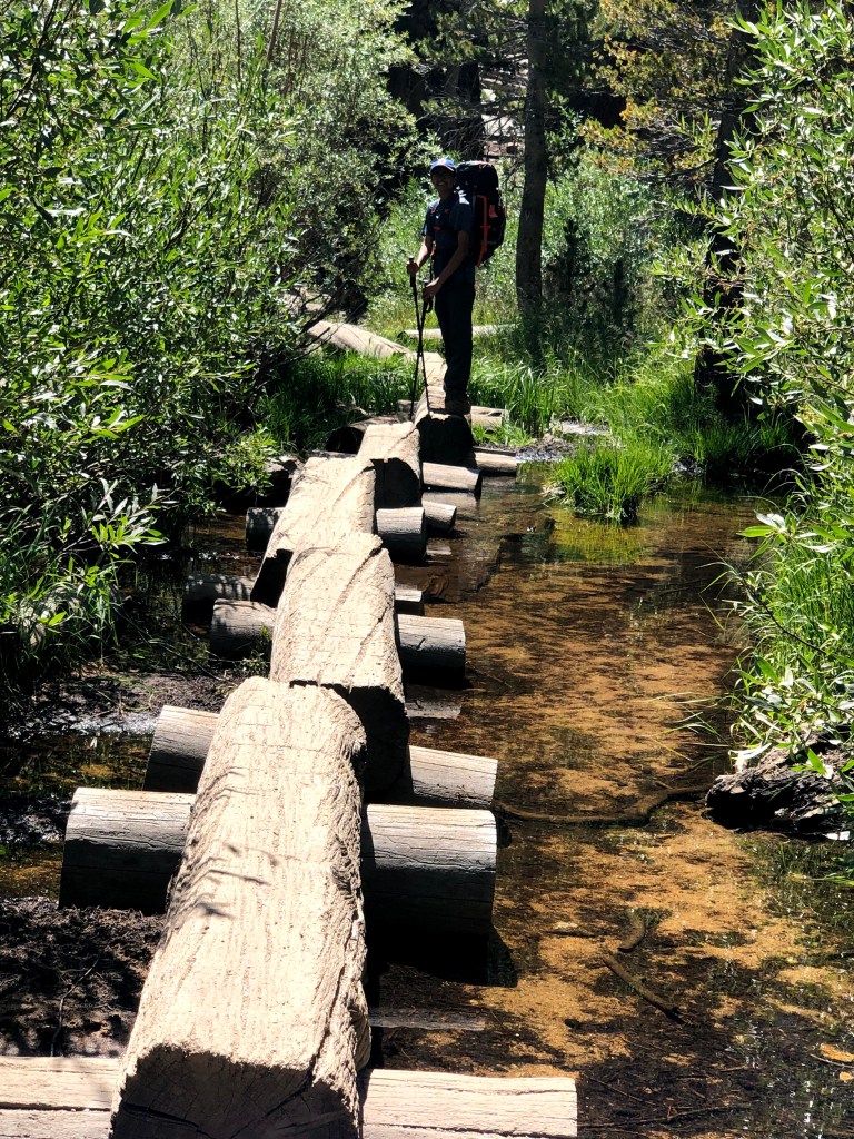

We maintained a nice and steady pace for the first mile but soon after I started feeling nauseous. I got worried, this wasn’t even that higher elevation yet to get altitude-related symptoms. I loosened my hip belt and slowed down a bit. This helped immediately, what a relief.
We felt like we were ahead in the game and at this speed, we would reach our campsite by 3 pm. About 3 miles in, approximately at 10000 ft, Yogi started feeling the `altitude’. The symptoms forced him to slow down, we all decided to play safe and walked slow. We still had plenty of daylight left, so there was no need to rush.


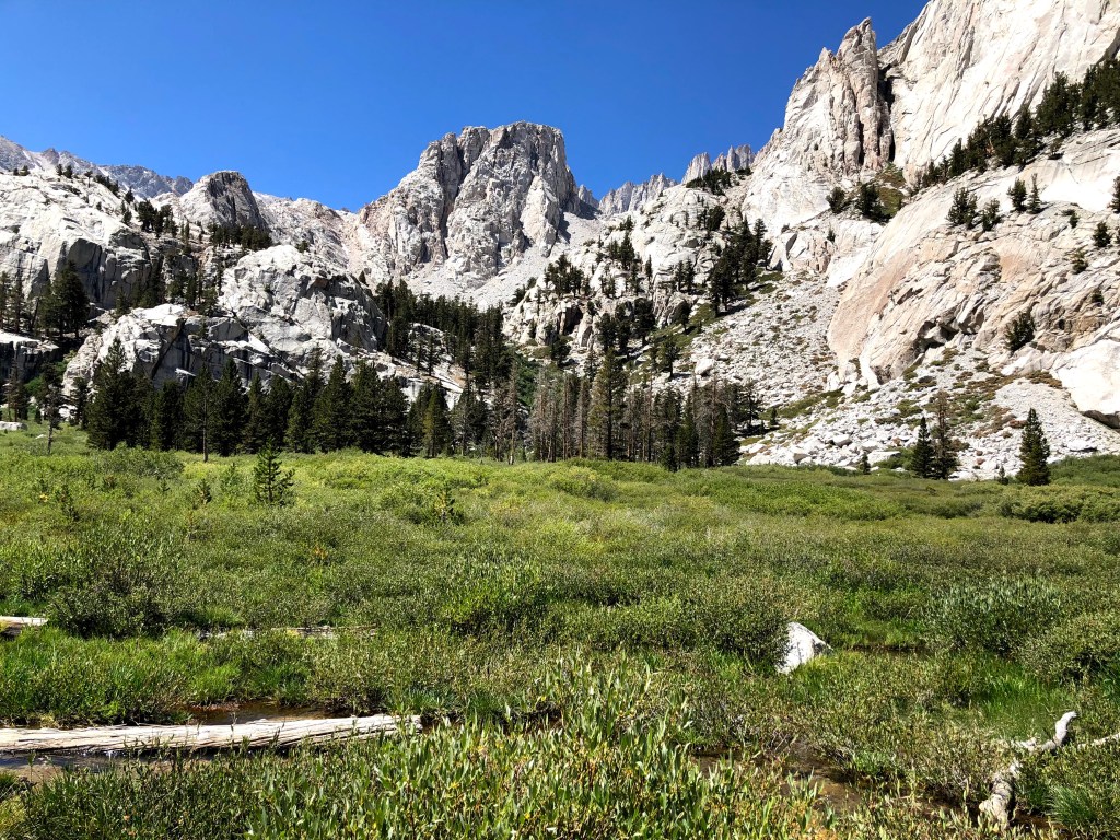
Our packs were heavy and last 2 miles especially the part after consultation lake felt tiring and never-ending. We now were above the treeline, entering this barren rocky terrain. We made it to the campsite at 4 pm, where we found a nice spot to pitch our tents near the rocks on the left side.
We were hungry, we ate some homemade snack that I brought, and went to the lake to filter some water for cooking and also for the next day.
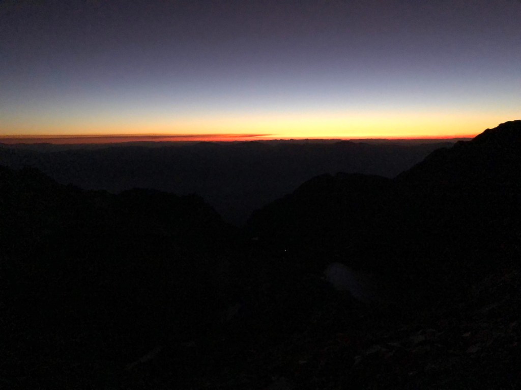
It was a beautiful evening, We watched the setting sun splashed the sky; first with an orange color and then purple before getting bright red. It was just a breathtaking scene.

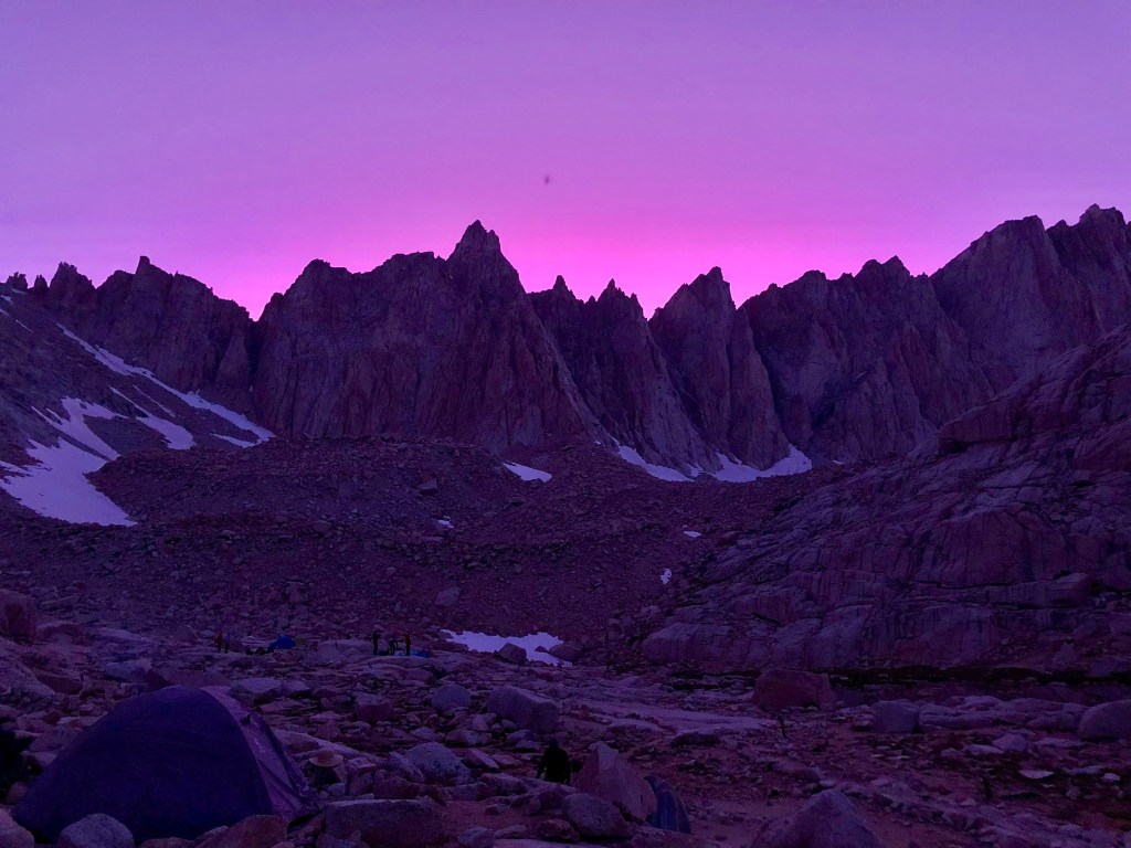
We started boiling water and made our backpacking food. It was a new moon so the night was pretty dark, we glanced at a starry sky before we got into our tents for a well-deserved sleep.
Day 2: We Woke up at 3, and turned our headlamps on for a night-hike. We had a five-mile and 2500 ft climb left to the summit. We saw a couple of groups passing by our tents.
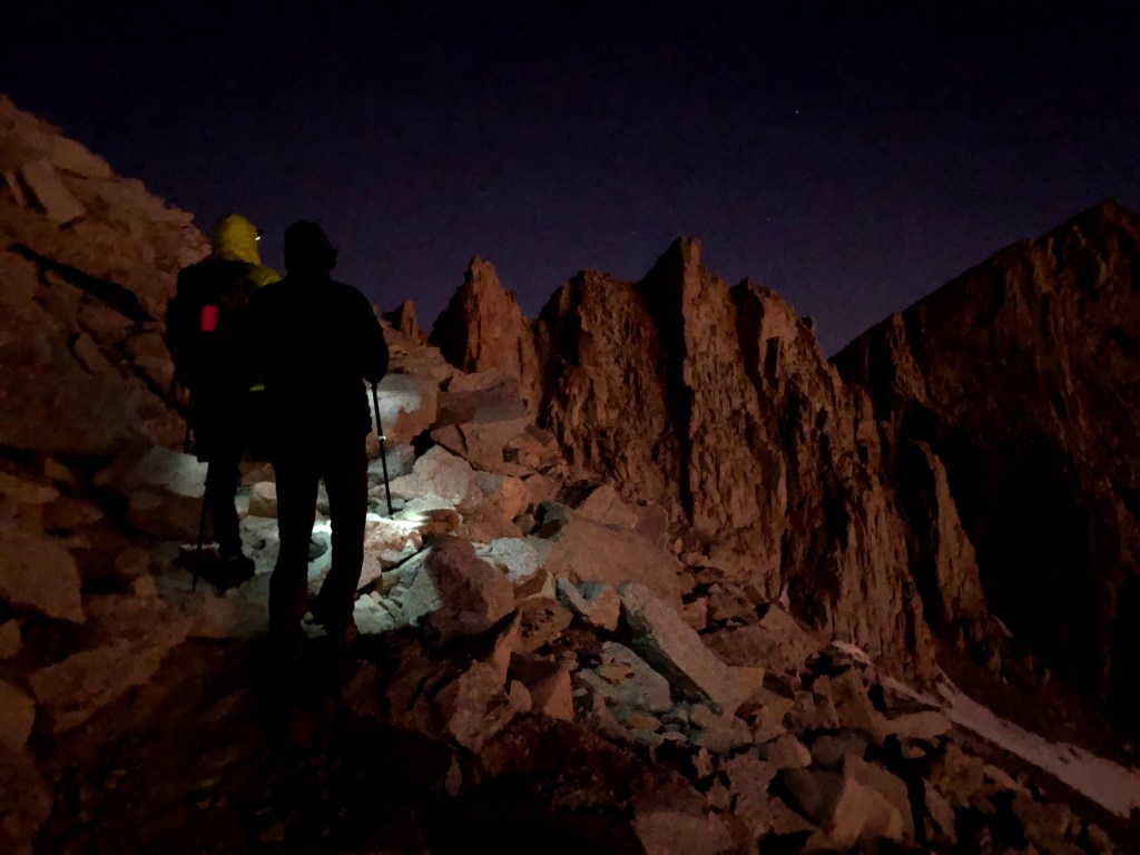
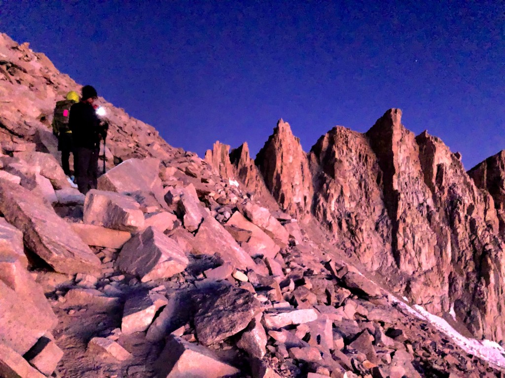
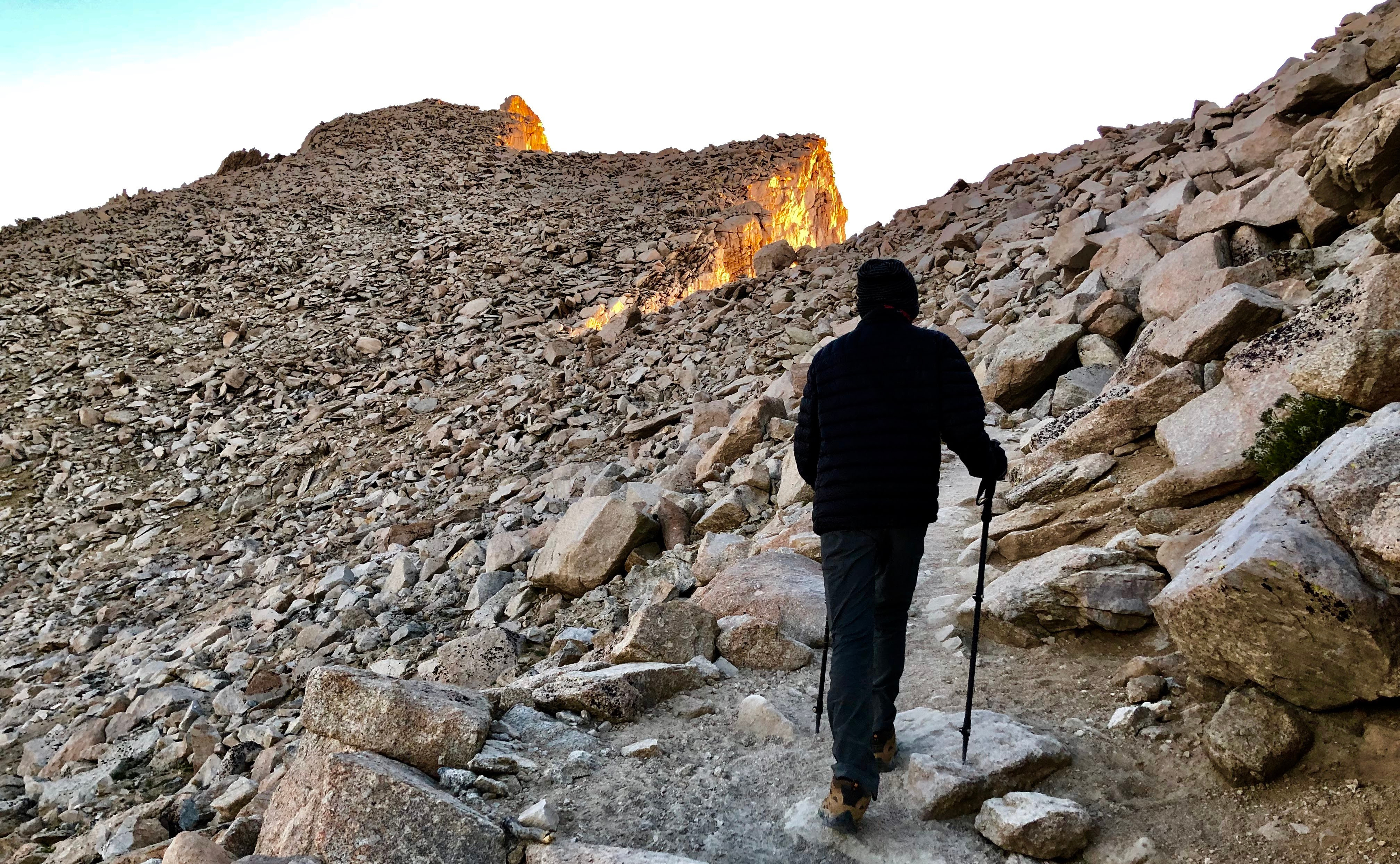
We started hiking around 3.40ish. It was a beautiful dark starry night. The first three miles were famous `99 switchbacks’. We were doing well today, mainly because we were acclimated from spending a night at 12000 ft. The darkness kept us off from the distractions and made it easier to keep climbing. We started seeing more and more trails of headlamps around 5 am. We were almost to the top of the ridge when the day started breaking in. The shadow of tall needles on the right side made us feel tiny. We got excited about the sunrise and hoped that we would make to the top of the trail crest to watch the sunrise.

Well, we were ahead by 20 minutes. We made it to the trail crest earlier than expected. The trail wrapped on the other side now which means we won’t be able to see the sunrise if we continued. We decided not to wait and continue our journey. We still had 2 more miles and 900 feet to climb.

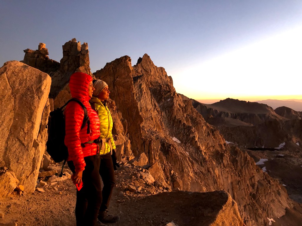
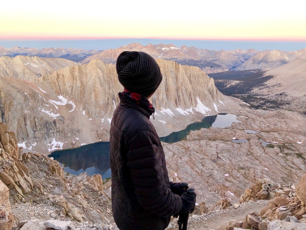
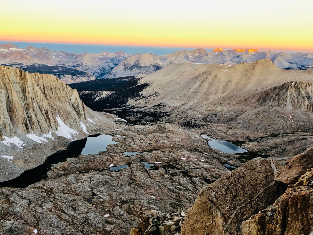
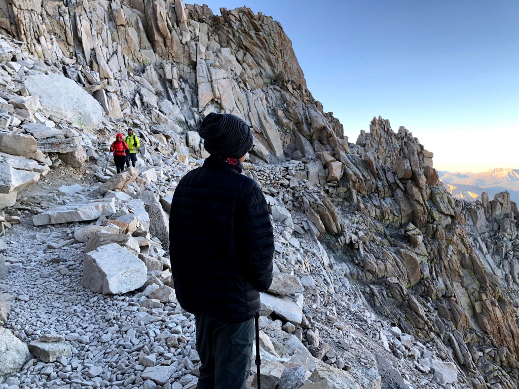
We passed the JMT junction and started walking along the cliffside. We started meeting more JMT hikers coming from Guitar Lake up. The views on the west were breathtaking. There are these constant mesmerizing views of Hitchcock Lakes and Guitar Lakes with the dramatic backdrop of high sierras were priceless. 20 minutes in, the first rays of sun painted the tips of the mountain with a bright golden color. This scene is hard to describe and was impossible to capture in camera. We took a break and just kept on watching the unbelievable scene.
The next part took us on the backside of the Whitney `needles’. We started seeing the peak, marked by a hut. When we were getting near our goal of reaching the top, Yogi started to feel the altitude sickness. Something he said at that point struck me hard this time. He said that our body was giving us a clue that this was not where we should be, we didn’t belong at this altitude and we should reserve the higher mountains for the creatures who called it home. Our body is designed to survive at much lower altitudes where oxygen is plenty for us to survive. If our lungs are gasping for air, it’s our clue that we should leave. He is one of the fittest friends I have, stamina has never been an issue for him, he just struggles when air gets thin. He almost made it clear that he would stay below 10k ft with all of his future hikes!
I have done many high altitude treks, I have struggled with less oxygen at times, and always had this attitude of `pushing’ myself to reach to my strongest potential by keeping strong mental focus while ignoring what my body tells me. This notion was new to me, and I kept pondering the idea of finding and respecting my own ‘place’ on this planet earth. Even trees stop growing at certain altitudes, we start struggling with thin air as we start going above the treeline, which means that our place is just under the shadows of the trees. I am not ready to give up hiking above the treeline yet, but I will never forget this conversation whenever I would pass the treeline.
we were still running ahead in our time, so we could afford to take it easy. This also allowed us some extra time to enjoy the views from the trail. Anuj was doing fantastic and almost running up the mountain, I had to hold him back.
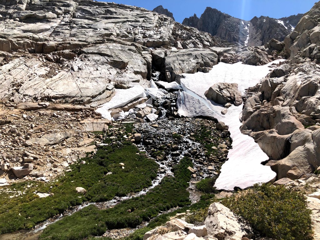
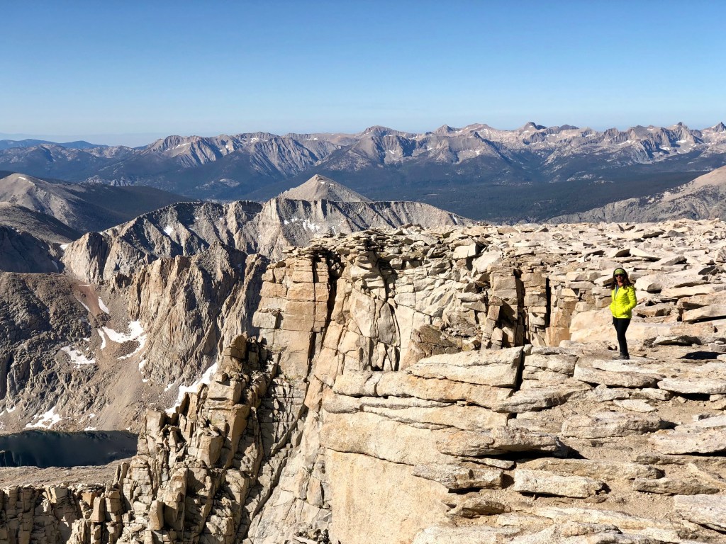
There was this patch of snow towards the end, but it was soft and easy to walk on. Last part wrapped around the peak and took us the to almost the flat part leading up to the actual peak.

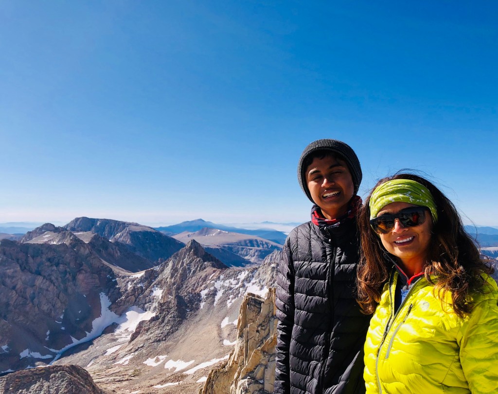
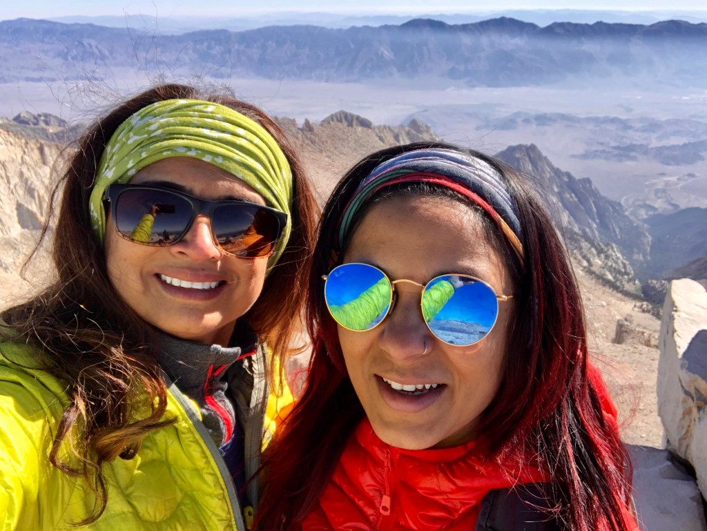
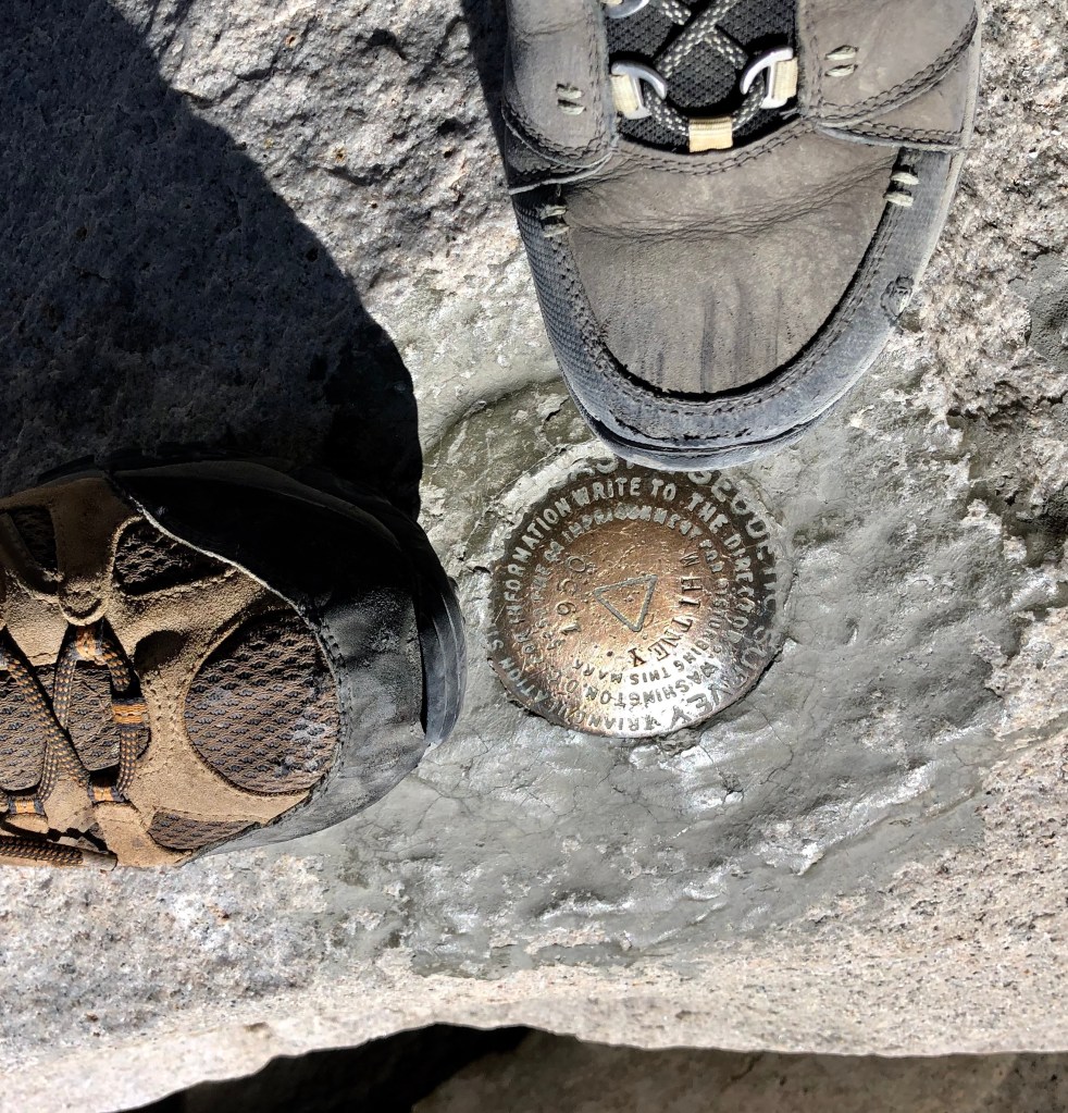
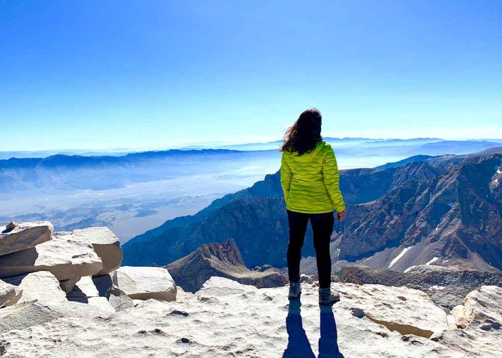
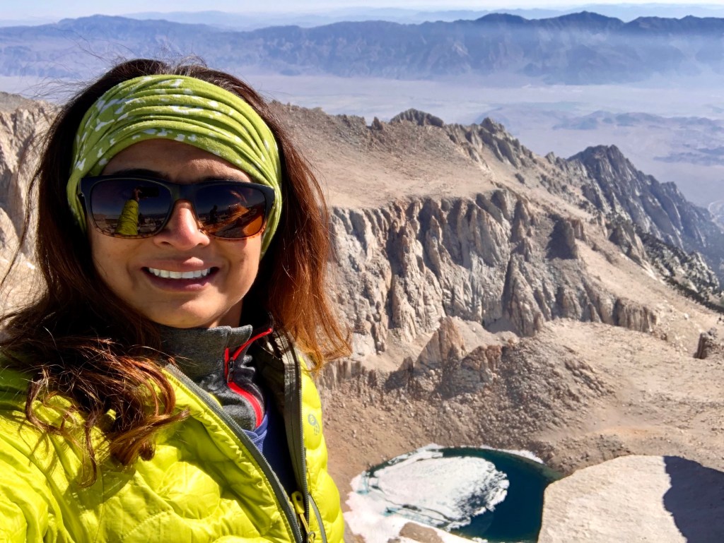
We made it to the top at 8.30am! This is it, the bucket list is checked off!! Anuj and I couldn’t hold our excitement, we just walked around the entire peak in circles to check out the beautiful panorama. We were so high up that everything looked so small. It was just amazing! We spent at least an hour at the top, enjoying the amazing views around us, but we couldn’t stay there for too long because we had a long 11-mile journey down to the bottom.


We started to head down, and we decided to take an hour break at trail camp, just enough to pack up our tents and refill our water. As soon as we got those things finished, we started our trip to the bottom again. We reached the trailhead at around 7 PM, and we were all excited to be able to sit down in the car again. We headed to Mammoth for the night’s stay. We showered, ordered a pizza and picked up a bottle of wine, the next two hours were spent exchanging endless stories of our journey.